Geology of Troodos
72 km
Distance
4-5 hours
Duration
50 km/h
Average Speed
1800 m – 200 m
Altitude
The Troodos Mountains were selected by UNESCO in 2015 to be declared a Geopark due to its unique geological heritage, which is derived from the particular genesis and elevation of the mountain range. The purpose of the trip is for visitors to get to know how Troodos was created and its geological significance following a route that includes mines, rocks, museums, and nature trails.
Routes
Contemporary History
The region of Solea was influenced by all the historical moments that Cyprus passed and the purpose of this journey is to present the modern history of Solea during the Turkish occupation and the later on, British occupation but also during the liberation struggle of EOKA.
Culture – Architecture
The long history of the Solea region and the rich cultural heritage through the ages is one of the features that attracted and inspired several visitors to the region, among them the Nobel prize winning poet, George Seferis.
Ecclesiastical Art and Monuments of UNESCO
Christianity was easily rooted in the souls of the inhabitants of Solea. Some have served Christianity as eminent priests and some have been sanctified. The inhabitants had built (and continue to build) beautiful churches decorated with beautiful wood carvings, frescoes and icons.
Olive Route: past and present
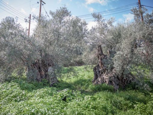
Olive trees are a typical tree of the area since ancient times. The visitor, following this route, has the opportunity to visit fruit treatment areas, mills and perennial trees.
River Klarios
The Klarios or Karkotis River, with a length of almost 25 km, stems from the Troodos Mountain and until it reaches Morphou Bay, it passes through the Solea Valley.


